Suggestions de mots clés
Suggestions de contenus éditoriaux
Chargement...
Suggestions littéraires
Chargement...
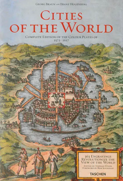
Réimpression complète des 531 plans issus de la recherche de Braun et Hogenberg sur les cartes de villes et plans d'Europe, d'Afrique, d'Asie et d'Amérique Centrale. Avec des commentaires et extraits du texte original de 1572. ©Electre 2026
« Kindly and most esteemed reader,
We hereby place on the market the next book of the most noble cities of the entire world, of which I hope that it will please you very much because the first book was received with such great pleasure and was so highly sought-after that not a single copy still remains, nor is available to buy. »
Georg Braun and Franz Hogenberg, Cologne, 1576
More than four centuries alter the first volume of the Civitates orbis terrarum (Cities of the World) was published in Cologne, this superlative collection of engravings of city views by Georg Braun and Franz Hogenberg is once again made available to the public. The present edition is a reprint of an exceptionally well-preserved copy in the possession of the Historisches Museum in Frankfurt. This magnificent work, which first appeared in six volumes between 1572 and 1617, shortly before the havoc that was wrought by the Thirty Yeats' War, enables readers and viewers to trace the development of cities in the early modern era. Following on the books of cities so reminiscent of medieval chronicles - from Hartmann Schedel's Nuremberg Chronicle (1493) to Sebastian Münster's Cosmographia (1544) - the panoramic atlas of city maps by Braun and Hogenberg reveals entirely new insights into economic and social issues as well as cultural and social life around 1600. It shows a prosperous Europe with far-flung trade links to Africa, Asia and Central America and does so in a completely new medium, copperplate engraving, which was both aesthetically and technically superior to the woodcut and wood engraving of previous centuries.
In 363 plates, 564 views of cities, city maps and decorative heraldic plates are featured. The most skilful engravers and cartographers of the day created both frontal and oblique views, astonishing representations from a reconstructed bird's-eye perspective and city maps drawn accurately to scale. In his introduction, Braun writes that the cities « are to be shown in such a way that the viewer can look into all streets and alleys, and all houses and squares lie open to him before his very eyes ». So accurate are they that, if you stroll today through the Old Towns of the great European cities with these maps in hand, you will be immersed in the economic and social reality of the early modem era. The cities and towns are embedded in scenic surroundings; both the beneficial and the threatening aspects of arable land and meadows, vineyards, gardens, rivers and seas are depicted. Heavily laden carts, coaches and groups of pedestrians populate trade routes. River barges and ocean-going ships give a realistic impression of trade and movement in the cities. In rich port cities such as Hamburg and Kid, ships are shown being loaded with cargo, and casks of claret are being unloaded from the quays of Bordeaux, while two dons in academic gowns are engaged in learned discourse before the gates of Oxford. The « gallows-knowe [knoll] » and places where criminals were flogged shed light on municipal law and are of importance to legal historians. Another remarkable feature is the representation of the dress worn by the peoples of the .different countries, revealing the professions they practised, for example. The work is alive with unique copperplate engravings in their original tints, supplemented by Georg Braun's informative texts on municipal history, the etymology of proper names and the importance of the individual cities to his contemporaries. Heraldic illustrations link royal and ducal families with places and indicate die status of cities as episcopal sees or Free Imperial Cities.
Showing all the city views, this edition also provides an informative selection of texts from Braun's writings on history and the importance of the urban centres of his day as well as translations of the information given in Latin in the plates' cartouches. Each engraving is accompanied by a comprehensive commentary on its cartographic, cultural and art-historical significance, as well as its sources and later versions. References are cited for further reading. This edition is rounded off with an introduction examining the cultural and historical status of Braun and Hogenberg's city maps in the context of contemporaneous cartography and printed books.
Paru le : 04/11/2008
Thématique : Cartographie, Atlas
Auteur(s) : Auteur : Georg Braun Auteur : Franz Hogenberg
Éditeur(s) :
Taschen
Collection(s) : Non précisé.
Contributeur(s) : Editeur scientifique (ou intellectuel) : Stephan Füssel - Directeur de publication : Benedikt Taschen - Préfacier : Rem Koolhaas
Série(s) : Non précisé.
ISBN : 978-3-8228-5272-9
EAN13 : 9783822852729
Reliure : Valisette
Pages : 501
Hauteur: 43.0 cm / Largeur 30.0 cm
Poids: 0 g